Photogrammetry is based on the principle of stereoscopic vision of an object, meaning its vision on multiple frames.
Through the use of two different frames that represents the same object observed by two different points, it is possible to define the spatial position of the object itself. A photogrammetric survey is planned by flying over the survey area according to parallel strips, with longitudinal overlap between the individual photograms equal to 60% and overlapping between contiguous strips equal to 20%. The process that allows to assign the correct spatial coordinates to each point of the acquired images is called georectification. This operation allows to transform a raw image from an arbitrary coordinate system to a cartographic projection system. The accurate spatial positioning of the aerial images depends on the correct measurement of the pitch, roll and heading angles, derived from an inertial unit installed on board, which define the spatial position of the aircraft at the shooting time of each frame. Instead, orthorectification process takes into account the distortions due to the sensor's detection angle and the survey topography through the use of a Digital Terrain Model (DTM) of the area of interest. The DTM allows to transform the projection of the image in such a way that in the correct image each pixel appears as observed from a position perpendicular to it.
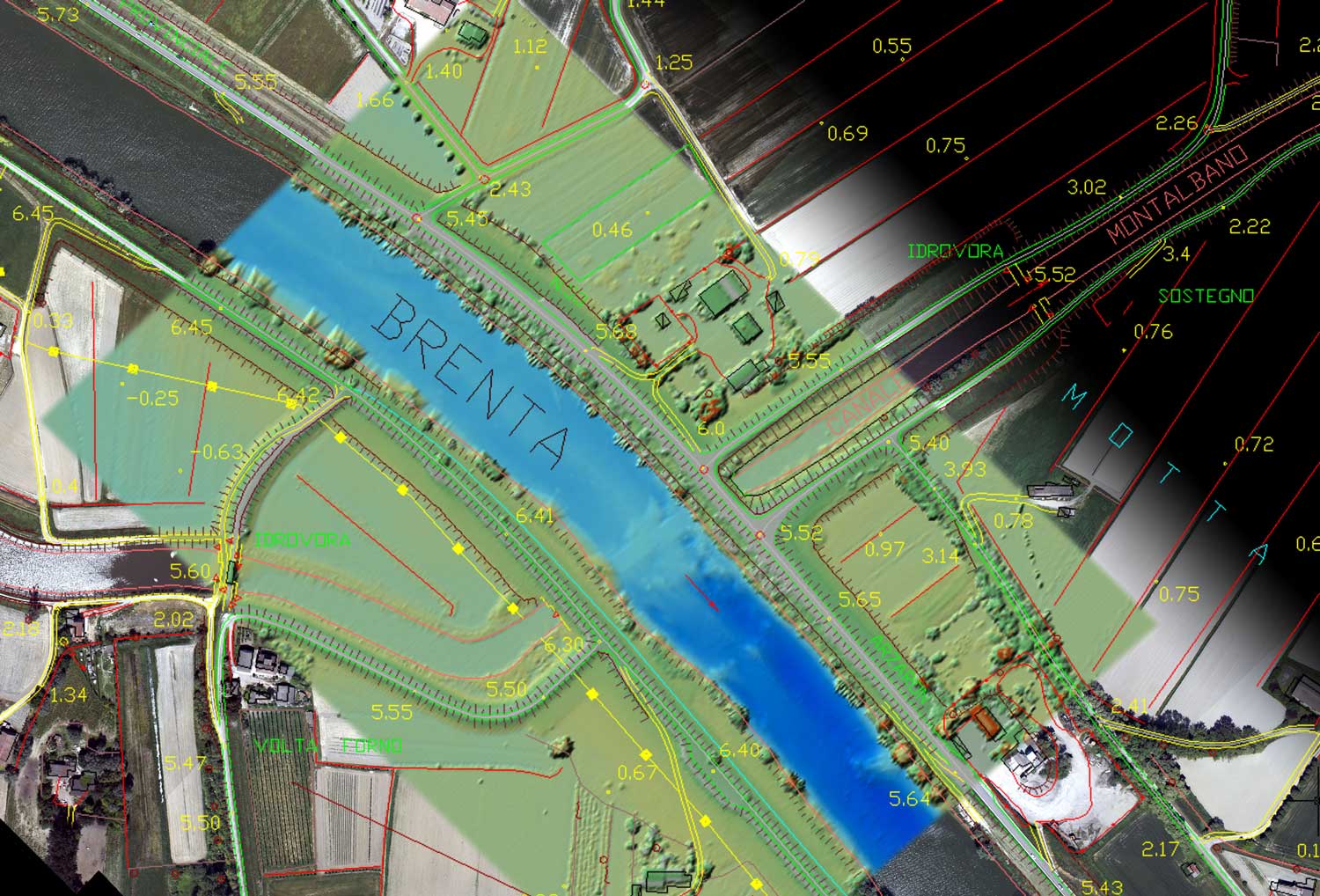
In this way orthophotos are obtained, that are, geometrically correct aerial photos, ie, otorectified and georeferenced. An orthophoto can therefore be superimposable on digital cartography and can be used to measure real distances, as it represents an accurate representation of the Earth's surface.